Key Facts
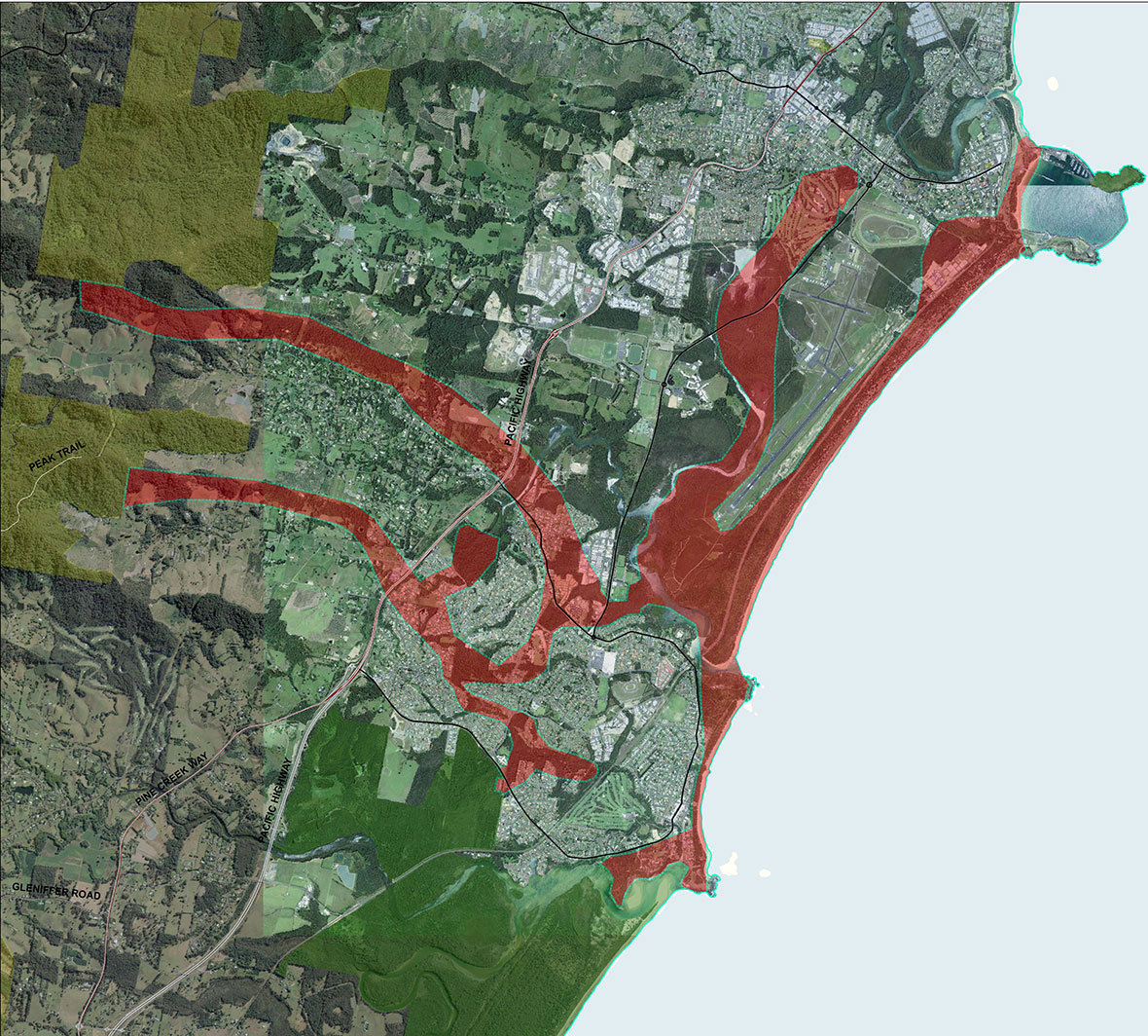
Area: 1358 ha
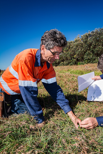
Projects: The Jaliigirr Connecting Communities and Cultures through Corridors Project (C4)
Threatened Ecological Community Restoration: Lowland Rainforest
Key Partners: Coffs Harbour and District Local Aboriginal Land Council, Coffs Harbour City Council, Coffs Harbour Regional Landcare.
Site Summary
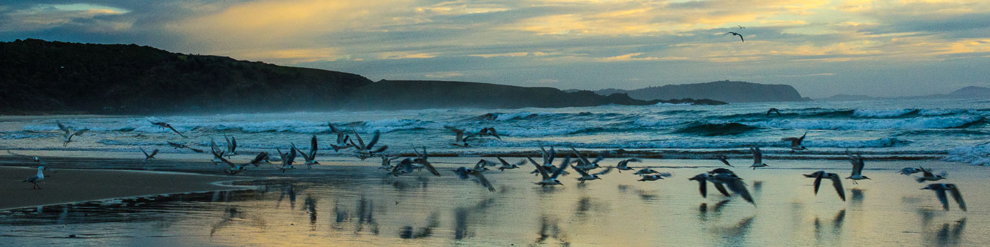
Encompassing some of the region’s most popular beaches and headlands is the Sawtell/Boambee landscape. This landscape incorporates a densely populated and expanding area, however, linkages to the hinterland are being managed to maintain landscape connectivity.
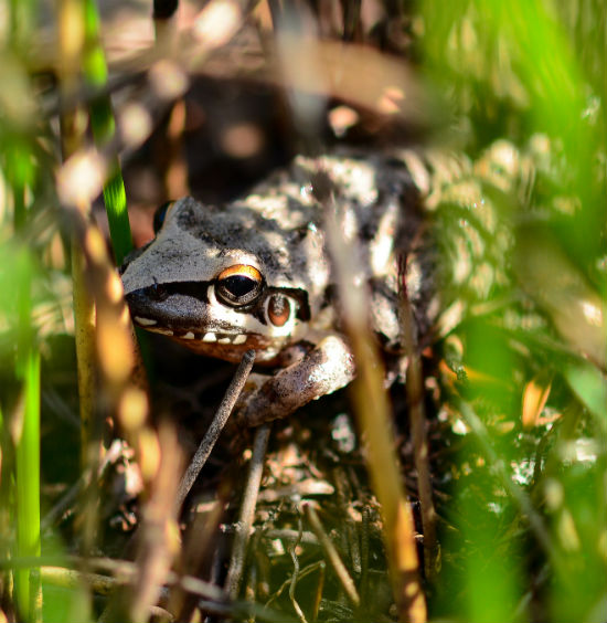
Bongil Bongil National Park to the south protects a range of coastal landscapes and forest types such as significant patches of littoral (coastal) rainforest, swamp forest, banksia woodland and dune vegetation. This area is very important for the region’s Koala population. To the north, Boambee headland supports significant Themeda Grassland and littoral rainforest and provides connectivity from the shoreline south along the coast to Bongil Bongil.
Significant breeding habitat for the Endangered Little Tern exists within the Sawtell/Boambee landscape at the headwaters to Bonville Creek. Beach Stone Curlew, also Endangered, are also seen from time to time here.