Key Facts
Area: 834 ha
Projects: The Jaliigirr Connecting Communities and Cultures through Corridors Project (C4)
Key Partners: Coffs Harbour City Council, Coffs Harbour Regional Landcare, Coffs Harbour and District Local Aboriginal Land Council.
Site Summary
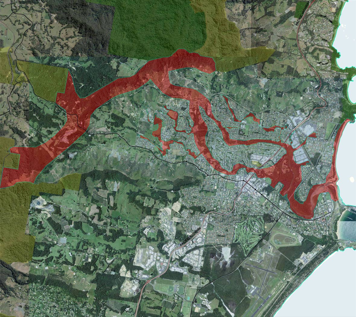
The Coffs Creek Coastal connection includes the coastal zone, estuaries and several urban riparian corridors within the Coffs Creek catchment. Landuse is a mixture of residential, commercial and agricultural (banana plantations). The Coffs Creek Coastal connection links the Coffs Coast State Park and the Coffs Coast Regional Park with Ulidarra National Park and the coastal hills.
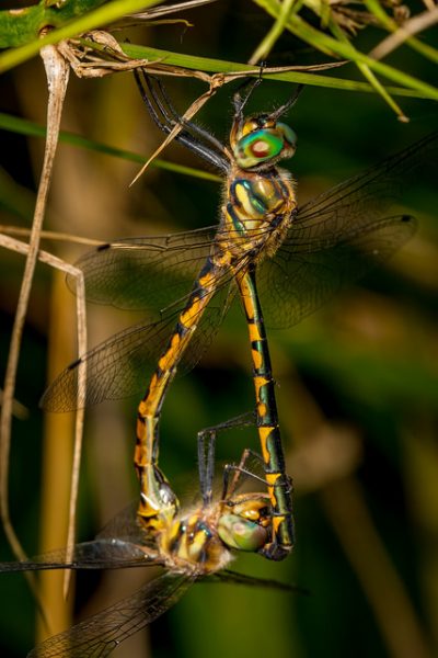
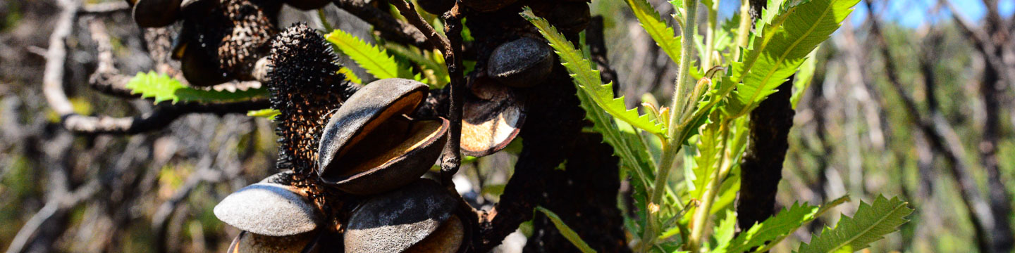
The coastal catchments and ranges adjacent to Coffs Creek contain a rich flora including several threatened plants such as the Rusty Plum, Orara Boronia, Slender Marsdenia and Senna acclinis. The catchment also supports a breeding pair of Powerful Owls as well as Sooty Owls, Koala, Grey-headed Flying-fox and numerous small mammals, frogs, reptiles and forest bats.
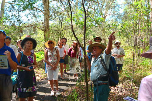
Coffs Harbour City Council is the key management agency in the Coffs Creek connection and works in partnership with NPWS, Coffs Harbour Regional Landcare, the Coffs Harbour and District Local Aboriginal Landcare Council and numerous other government agencies and NGO’s to deliver habitat restoration across the catchment.